
Stillwater and Beyond

By Molly Brewer Hoeg
I arrived in Stillwater in the morning, knowing I had enough miles of trails to last me all day. My plan was to cover the Gateway, Brown’s Creek and St. Croix River Crossing Loop for almost 30 miles of traffic-free cycling. The sun beat down, promising a hot ride, but it was still a perfect day for a ride. It was a treat to find free parking at the Brown’s Creek State Trailhead in the center of the historic section of the city. Deciding on where to start was easy – the 4.7-mile St. Croix River Crossing Loop Trail was newly completed, and the Stillwater Lift Bridge beckoned.

It was a delight to pedal worry-free on the striped bike lanes down the middle of the historic bridge without the traffic congestion that once clogged it. The low bridge deck carried me just above the river as the iron structure passed overhead and pedestrians walked the paths on either side.
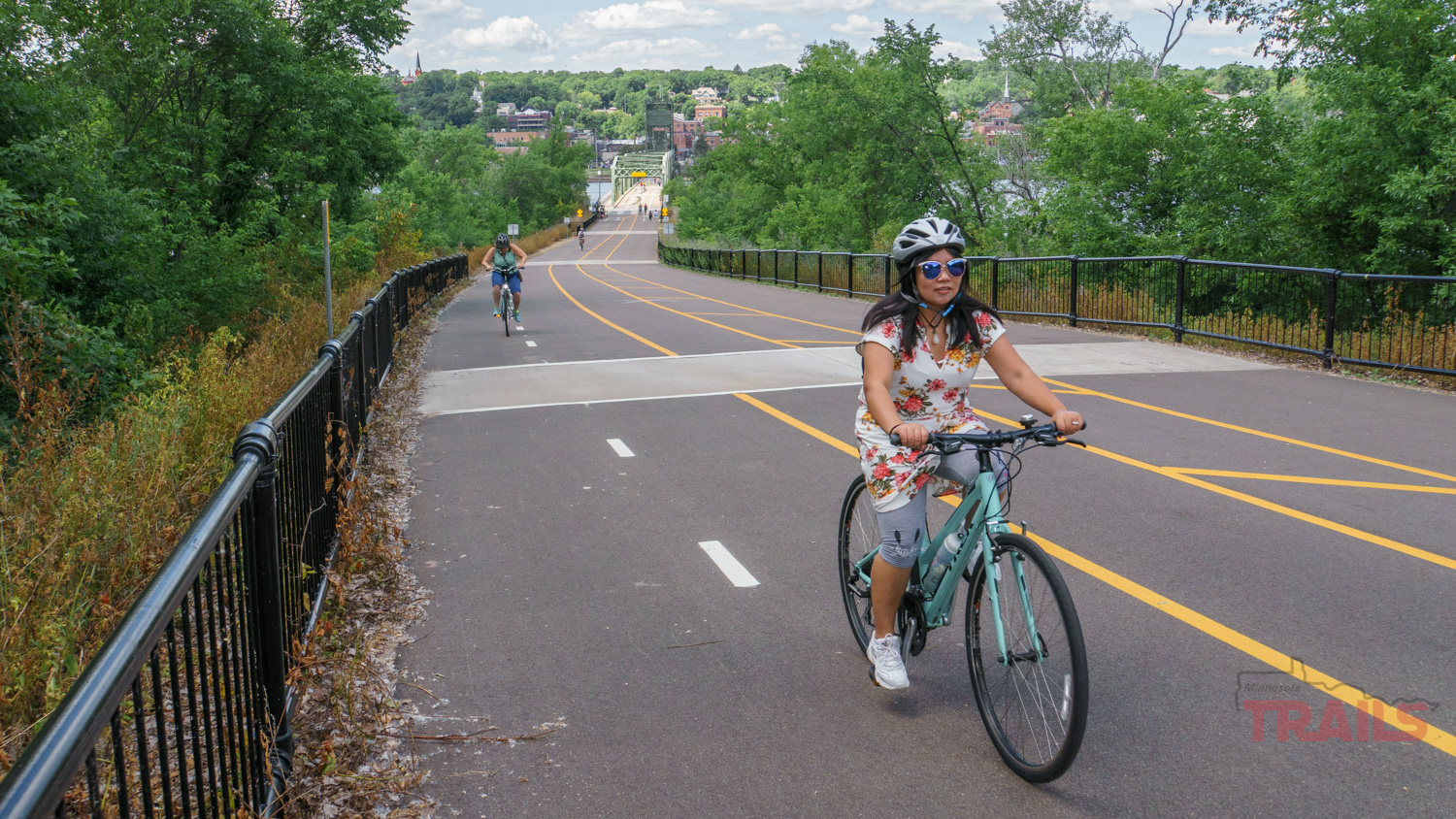
Reaching the Wisconsin side, the trail rose steeply – another reason I chose to ride this bit while I was still fresh. An eight percent grade follows the hillside for half a mile with crisp, painted lines separating pedestrians and cyclists. Once up top, it was a gentle downward slope through open countryside.

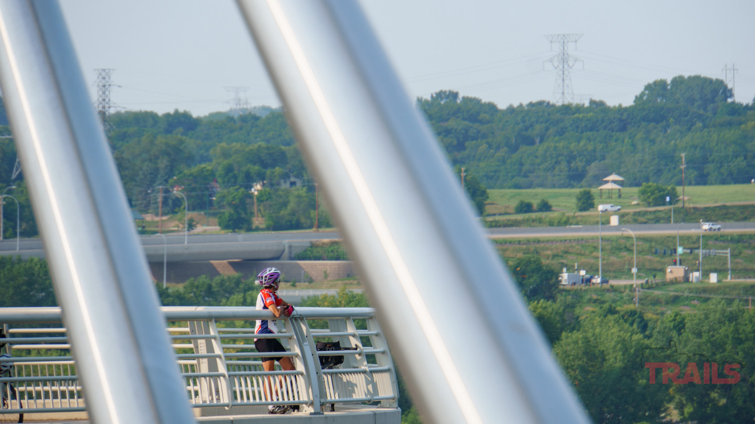
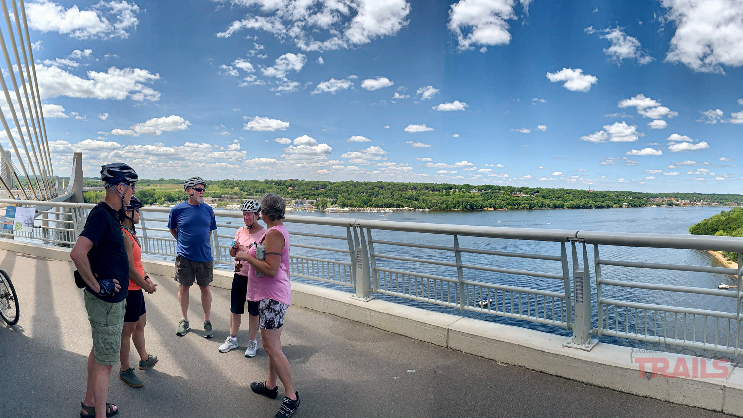
When I returned to the river, the new St. Croix Crossing Bridge stretched out in front of me, nearly a mile long. Opened in 2017, its unique design combines a minimum of piers in the water and shorter towers with angled cables to reduce the environmental impact, resulting in a sleek, modern look. Gliding onto the wide protected walking and cycling path, the land fell away leaving me 150 feet above the river. Each tower includes a lookout spot with interpretive signs about the bridge and nature, luring me out to linger and take in the view.
Back in Stillwater, I headed upriver on the Brown’s Creek State Trail, which then cut inland to travel west. It was a steady climb out of Stillwater but gentle enough not to feel strenuous, thanks to the trail’s former life as a railroad bed.

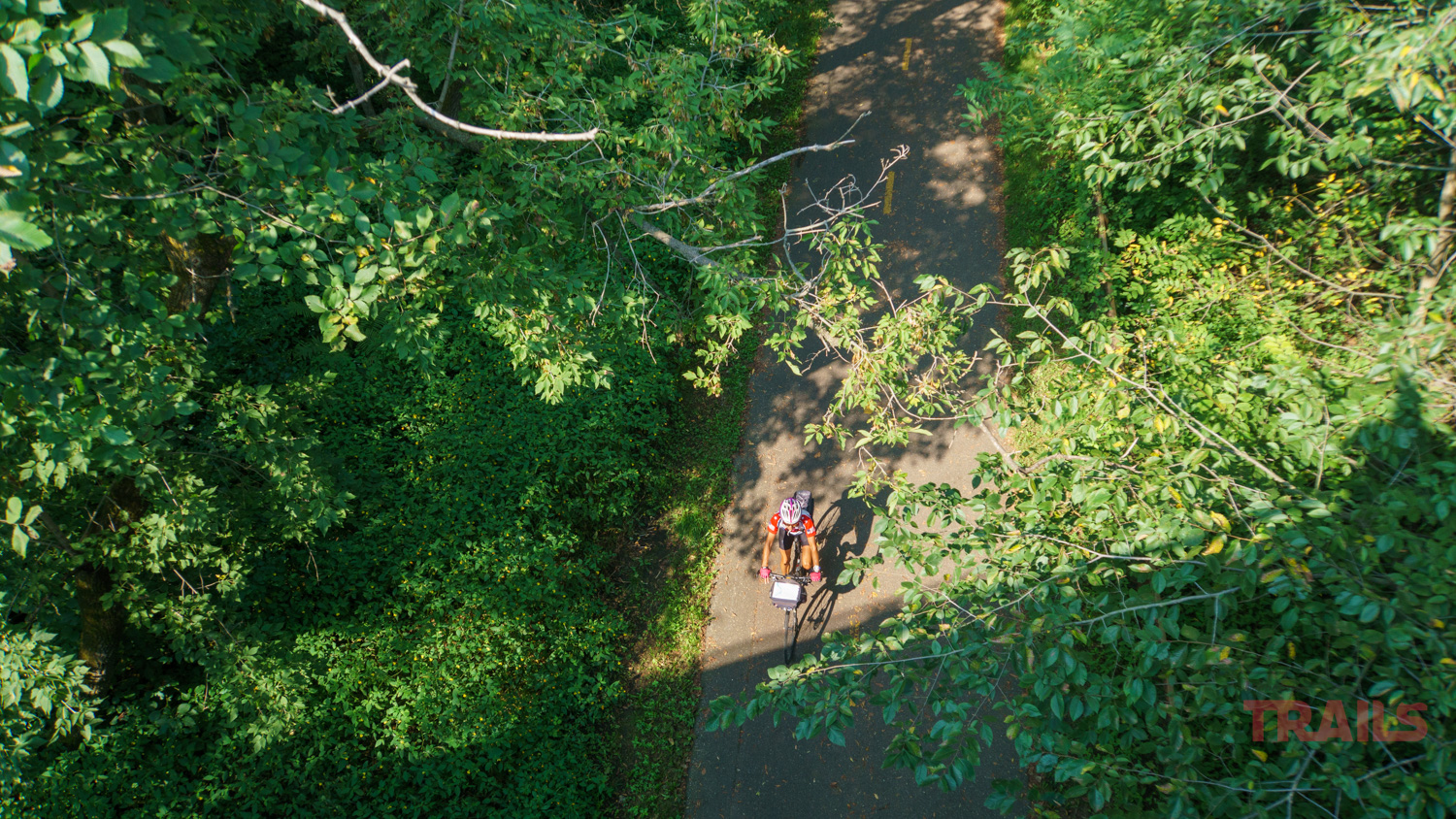
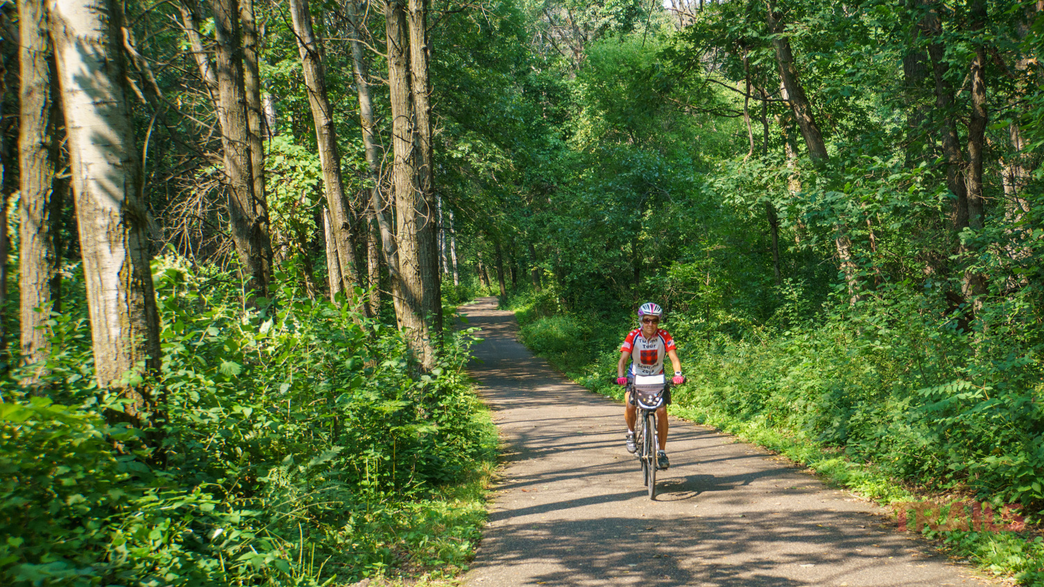
Trees stretched and met above my head and the deep woodsy environs immediately dispelled the growing heat of the day. This is a newer trail with smooth pavement for easy cycling, and I could see that it’s popular with cyclists of all abilities.


About two miles of the trail runs adjacent to Brown’s Creek. I stopped at a pullout to read about the historic Military Road and the old stone bridge that carried it across Brown’s Creek. The bridge is now on private land, but peering through the foliage I could just make it out under deep, grassy growth. I learned that it is the oldest standing stone arch bridge in Minnesota, built in 1863. This ride was beginning to feel like a tour of iconic bridges.
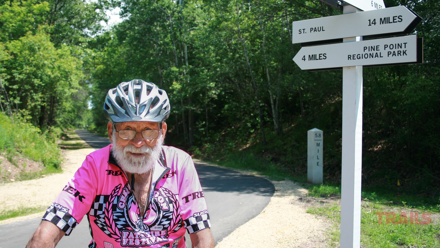


After 5.9 miles, I reached Duluth Junction, which is the intersection with the Gateway State Trail. This too is a rails-to-trails conversion, and the informational signs provide insights to its former railroad days. The trail also includes 10 miles of unpaved horse trail adjacent to the cycle path. The shorter, eastern section extends four miles to Pine Point Park.
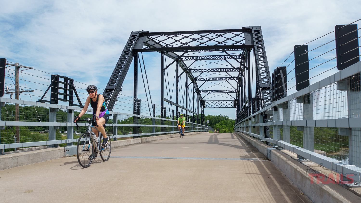
The shorter, eastern section extends four miles to Pine Point Park. That quiet stretch winds through rural countryside, but crosses yet another bridge of note. The Iron Bridge is a striking example of an early Parker truss bridge, with a load-bearing superstructure that forms triangular units – just like the Stillwater Lift Bridge. Built in 1873, near Sauk Centre, MN in the days of horse and buggy, it has moved twice to reach this location where it once again it carries pedestrians, cyclists and horses over a busy roadway.

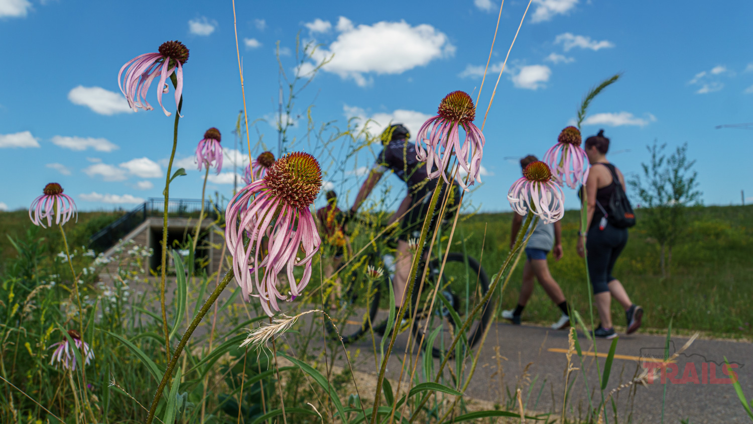
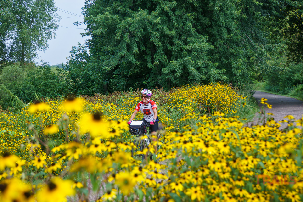
West of the Junction, the trail travels 14 miles right into the heart of St. Paul. At first, it felt much like the other trails – secluded, tree covered and bound by nature. I enjoyed the roly-poly bits with some fun dips and gentle curves, as did the children biking with their parents on the trail. I passed parks, lakes and wetlands. Wildflowers abounded on the side of the trail, particularly tall clusters of black-eyed Susan, goldenrod, yellow daisies, and spiny purple plants that I couldn’t name. It was hard to believe I was on the outskirts of our state capitol.
But, gradually, the woods gave way to neighborhoods, which migrated into industrial areas. Soon I was paralleling the highway, which admittedly gave me access to treats and services that I craved by then. The trail condition deteriorated some as I moved onto older sections of pavement with more cracks and bumps. At Arlington Road I was suddenly dumped out onto urban streets. The trail then follows a crooked line along streets and paths to meander down to its terminus. It took a lot more navigating to find my way and I admit to missing one turn despite the sign.
The final miles skirt the edge of I35 and its massive interchanges, sometimes diverting through grassy areas and passing an impressive cement mural celebrating all forms of trail use. This section connects to a number of other urban trails traveling through St. Paul and environs, reminding me that these links allow city cyclists to escape into the countryside. Which is just what I did, turning around and retracing my route back to Stillwater. To enjoy the trails all over again.

Molly Brewer Hoeg
Molly Brewer Hoeg is a freelance writer and outdoor fitness enthusiast from Duluth Minnesota. When she’s not writing, you’ll find her outdoors, running, cycling and cross-country skiing, or pampering her five grandchildren. Since retiring, Molly and her husband, Rich, have taken up bicycle touring, spending about a month each year traveling on their own by bicycle and have pedaled over 11,000 miles together. Molly blogs about their trips at SuperiorFootprints.org and is writing a book about the ups and downs of constant togetherness at 12 miles an hour.



Keep up with the latest MN Trails news and events in our newsletter
About me

I’m Jan, the publisher of Minnesota Trails Magazine. I’m looking for that one trail, the next ride, a new discovery and other reasons to never sit still in Minnesota.