It was still morning but the sun was already beating down on the little town of Fountain in Minnesota’s Bluff Country, promising a hot and humid day. I said goodbye to my shuttle driver and husband Rich, mounted my bike and began to turn the cranks with 42 miles of the Root River State Trail stretched out ahead of me. This wasn’t my first visit. I had biked pieces of this trail and the Harmony-Preston Valley State Trail before, but this time I set out to conquer their full length over two days. My feet itched to pedal these popular paved bike trails in the southeast corner of Minnesota.
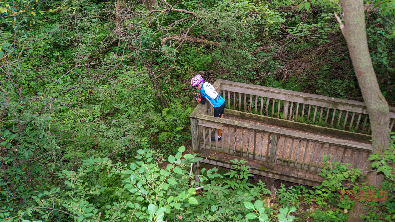
The going was easy on the first six miles. I cruised down the longest hill on the trail and it was no mistake that I chose to ride in that direction. I didn’t get far before stopping at a sink hole viewing area. The display boards explained that water works its way into soluble rocks like limestone under the soil, which erodes the rock and the ground caves in. Once it collapses, the land is unusable, so trees take over. Walking out to the observation platform, I stared into the gnarly depression, one of over 10,000 of these found in Fillmore County.
The trail crosses Watson Creek a number of times, and I spotted picnic tables dotting the rural route. Just beyond the Isinour Forestry Unit, I passed a particularly attractive house with gingerbread trim, surrounded by colorful gardens, like an oasis among the more utilitarian farmland. Soon afterwards, I reached Isinours Junction where the Preston-Harmony Valley State Trail splits off and heads south. But that was for tomorrow’s exploration. At the same spot, I picked up the South Branch of the Root River, which would accompany me to Lanesboro.
Just outside of Lanesboro the trail passed through a narrow cut through massive rock walls that leached water and sported plant growth far overhead. The railroad that preceded this trail blasted its way through these edifices decades ago, now affording cyclists a flat trail. It became one of my favorite stretches.
Lanesboro attracts cyclists for its array of restaurants, shops and quaint ambiance. The abundant bike racks were filled with bikes of all types and the sidewalks brimmed with activity. Cyclists loitered at the visitor center rest area while enjoying a drink and a snack, and I could hear a woman nearby rave about her e-bike to some avid onlookers. From what I saw, she was not alone in biking the trail with assistance, particularly on this popular stretch of trail.
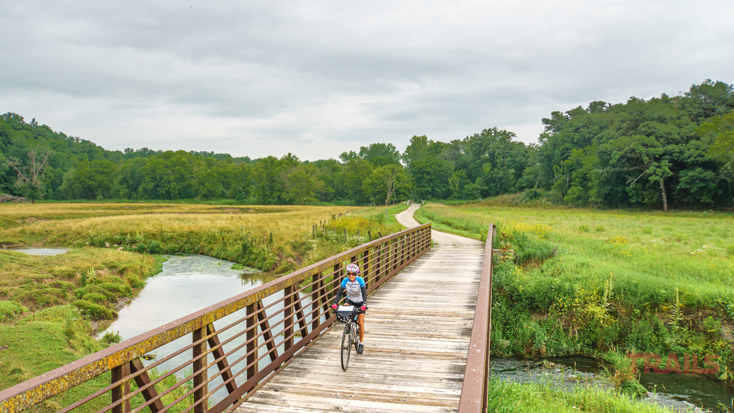
Outside of Lanesboro, I crossed a bridge where the South Branch and the main Root River converge. Below, folks in inner tubes lazily flowed by on the low, slow waters. I watched them longingly from my sun-soaked perch on the bridge. Continuing on, the Root River was my constant companion, as the trail twisted and turned alongside the curvy bed of the river.
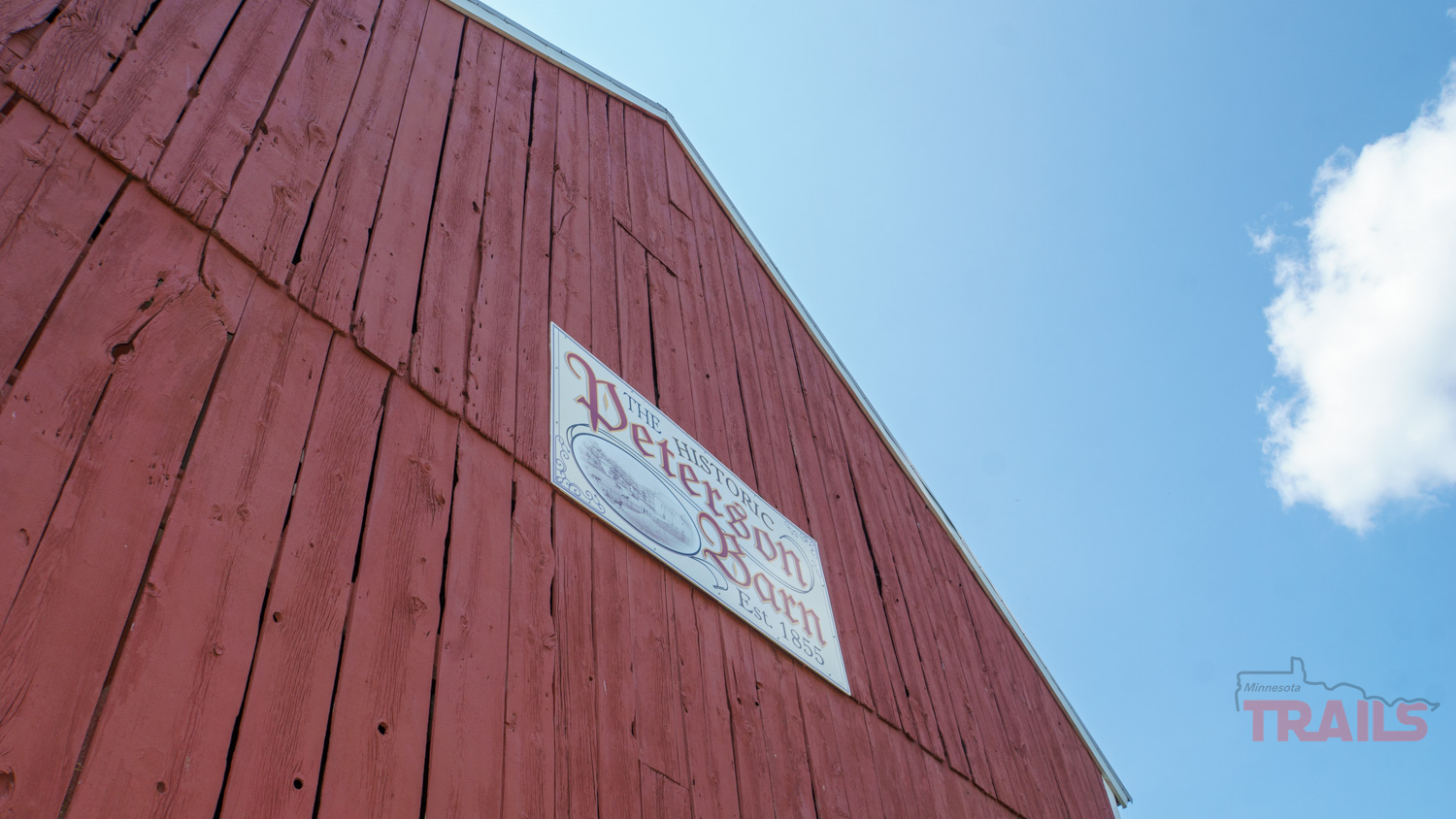
It took me through the small village of Whalan, known for its famous pie shop, and on to Peterson where I stopped to explore the Historic Peterson Barn. Peter Peterson built the barn in 1855 out of black walnut – an unusual but very available resource on his land. In the mid 1970s he added a corn crib at the back and began to farm trout. Next to the barn is a pump house, which was the first public water source in the community back in 1915. An unmarked, but very worthwhile stop.
By this time I had left the casual cyclists behind, and the trail became my own. From Rushford to Houston at the far eastern end, the trail took on a wilder feel. The pavement lost its smooth surface, evidence that it had not been refreshed as recently as the more westerly sections. I passed tall grasses studded with colorful wildflowers – sunflowers, Queen Ann’s Lace, black eyed Susan and purple bee balm vied for attention beside the trail on the edge of farm fields.
The further I went, the more prominent the limestone bluffs that dominated the countryside.
The final stretch leading into Houston was the most challenging, with short but steep inclines added to the mix. But knowing my destination was in sight carried me through to the Houston Nature Center where I was happy to get out of the saddle after 42 hot miles.
I got a much earlier start the next morning, because of the rainy forecast. The Harmony-Preston Valley State Trail is much shorter, but I hoped to traverse the 18 miles and back before getting wet. Parking at the trail access point on Highway 17 gave me quick access to Isinours Junction, and soon I was following the curvy, quiet trail south along the South Branch of the Root River. The water was so low that deer easily crossed the shallow stream as I pedaled by. The trail was flanked by farmland, so I was surprised to enter a tunnel of trees and feel the cool, damp and misty air trapped there.
At Preston, the trail takes a loop into town to reach Preston Trailhead Park which has convenient restrooms, a motel, ice cream shop and even an artificial chimney to provide chimney swifts a place to roost. When it turns south again, the trail hooks up with Camp Creek, crossing it many times on wooden bridge decks with bumpy approaches. This area is known for good trout fishing, and I found a number of wooden stepladders that provided access over fences to reach the creek. The lush, green farmland and rolling hills with abundant wildflowers made this a scenic ride, despite the dark clouds gathering overhead.
The northern two-thirds of the trail was built on an old railroad bed, but six miles out of Harmony it leaves that corridor. As a result, it’s hillier and takes a more varied path, weaving between and seemingly right through the middle of farm fields, then along a road. Some very determined trail builders had made sure the connection to Harmony was made.
Just before I reached town, the Karst Interpretive Site provided another close-up view of a huge sink hole. I couldn’t resist having another look and reading the informative signs.
Unfortunately, I had little opportunity to explore this town on the southern end of the trail system. The weather was turning for the worse and the frequent thunder grumbles added to the threat. While I don’t mind a little rain, I realized that there are very few places on this section of trail that cross any roads, should I need to bail because of the weather.
Squelching my disappointment, I called Rich for a ride. As I waited for him to arrive, I watched the skies grow darker and the thunder draw nearer and took heart in the fact that I had still accomplished my goal – covering the full extent of the two trails.
Molly Brewer Hoeg is a freelance writer and outdoor fitness enthusiast from Duluth Minnesota. When she’s not writing, you’ll find her outdoors, running, cycling and cross-country skiing, or pampering her five grandchildren. Since retiring, Molly and her husband, Rich, have taken up bicycle touring, spending about a month each year traveling on their own by bicycle and have pedaled over 11,000 miles together. Molly blogs about their trips at
SuperiorFootprints.org and is writing a book about the ups and downs of constant togetherness at 12 miles an hour.